
Clinton ZIP Codes and Coverage
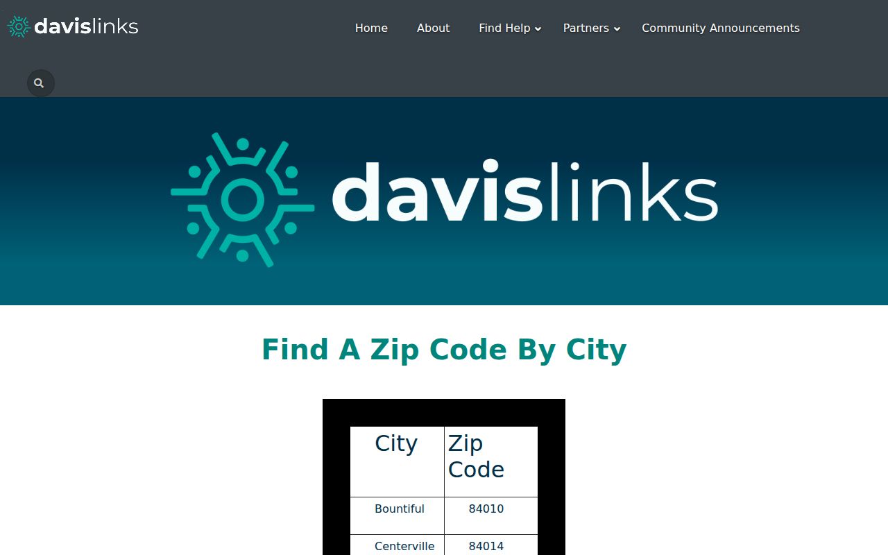
The Davis County city-by-ZIP table lists Clinton under ZIP 84015. The same row of local postal geography also includes Clearfield, Sunset, West Point, and nearby western Davis County areas. That makes 84015 the primary ZIP code to test for a Clinton address, but it does not make every 84015 parcel part of Clinton. The county table is a local orientation source, not a legal boundary map.
The postal relationship needs one more check. Research did not expose a current official page naming one exact delivery station for every 84015 address. USPS historical references associate the ZIP with Clearfield, yet the delivery-city answer can depend on the full street address. A ZIP code directory should therefore show the ZIP and the uncertainty together.
| ZIP | Areas Covered | Post Office | Notes |
|---|---|---|---|
| 84015 | Clinton, Clearfield, Sunset, West Point, and nearby western Davis County areas | Verify the recognized delivery city by full address | Shared ZIP, not equal to Clinton limits |
The official Davis County city-by-ZIP table is the lead local source for this row. It also lists nearby combinations such as Bountiful 84010, Centerville 84014, Farmington 84025, Layton 84040 and 84041, and Syracuse 84075. Those comparison rows help catch a mistaken city label, but they do not replace a parcel or USPS check.
A screenshot of the county ZIP table shows why the Clinton entry must be read as a shared service area. The image supports the table above, while the city and parcel still need separate confirmation.
The shared row is useful for sorting search results. It is not evidence that a person with an 84015 address lives inside Clinton or that a parcel belongs to a particular household.
Finding Clinton Residents by ZIP
A ZIP-first search is a narrowing step, not a ZIP-wide resident roster. Research did not verify a Davis County portal that returns every parcel solely from a ZIP filter. The safe route moves from postal normalization to a parcel, then to the record type that can answer the question.
- Enter the complete street address in the USPS ZIP Code Lookup. Use the result to record the recognized city, state, ZIP, and any ZIP+4 output.
- Open the Davis County Property Search 2.0 map. Search the address, select the suggested match, zoom until parcel lines show, and click the parcel.
- Record the Parcel ID, owner, legal description, and Tax Information link. Keep the mailing address separate from the situs address.
- If the question concerns registration, use Utah Voter Search with the person’s name, date of birth, street, city, and ZIP. A no-match result does not prove nonregistration.
- For street-level work after the ZIP is narrowed, use the Clinton street directory address workflow rather than treating the ZIP as the final geography.
The same sequence works when a ZIP is supplied without a complete address, but the result is weaker. The county table can show which communities share 84015. USPS can identify delivery formatting. Only the parcel map can connect an address to the mapped land, and only a lawful person-specific record search can address a named voter or owner.
Clinton USPS Fields for 84015
The USPS tool provides three different search modes. The By Address tab is the best choice for a Clinton record because it tests the full delivery point. By City and State gives a city-level list, while Cities by ZIP reverses the search from a ZIP to recognized cities. The three forms should not be treated as interchangeable.
| USPS mode or field | What the search does |
|---|---|
| By Address | Company is optional; Street Address is required; Apt/Suite/Other is optional; City and State are entered; ZIP Code is optional. |
| By City and State | Requires a city and state, then returns the postal information associated with that combination. |
| Cities by ZIP | Requires a ZIP Code and returns recognized city relationships for that code. |
| Find | Submits the selected mode and returns standardized postal output. |
The USPS AIS Viewer adds current monthly ZIP, city, county, address-quality, delivery-statistics, and ZIP+4 information. It is a postal data tool, not a public person file. The historical postmaster page accepts From ZIP and To ZIP values in three-digit form and warns that historical information may not reflect current service.
The official AIS Viewer capture is a useful visual check of the postal layer. It belongs beside the county ZIP table because the two sources answer different questions: one maps local city and ZIP combinations, and the other supports current postal standardization.
USPS cautions that a ZIP result does not prove a person or company is at an address. Use it to verify delivery details, then use the county parcel or another official custodian for identity or ownership questions.
Clinton Voter Search Uses ZIP
The Utah Voter Search form presents First Name, Last Name, Date of Birth, Street Address, City, and ZIP, followed by Submit. The form is person-specific. It is not a browse tool for all Clinton voters in 84015. The public fields for ordinary records can include name, residential and mailing address, party affiliation, age range, active or inactive status, county, precinct, districts, and some vote-history fields.
Private fields remain private. The state and Davis County describe Social Security numbers, Utah driver license or ID numbers, full date of birth, signatures, email, and phone as nonpublic in the ordinary public list. Protected or at-risk voters may be withheld or anonymized. Utah Code 20A-2-104 supplies the withholding route, and the county form asks for a name plus address or date of birth, contact information, a category, supporting proof when requested, a signature, and a date.
A statewide voter-file request is a separate channel. The state describes a one-time $1,050 statewide list, tab-delimited delivery of about 150 MB, and $35 election reports. County or district lists go through the county clerk. These are request products with use restrictions, not a reason to publish a ZIP-based household list. Treat an inactive record, a protected omission, or a failed form match as a limit on the source rather than a conclusion about a Clinton resident.
ZIP Boundaries and Clinton Limits
For a Clinton address, ZIP, postal city, municipal limit, parcel situs, and legal description should be recorded as separate fields. The county’s map instructions say to type an address or Parcel ID, select the address suggestion, zoom to parcel lines, click the parcel, and read the owner, Tax Information, Parcel ID, and Legal Description. A property map may lag by more than 24 hours and is informational, not a legal document or substitute for a title search.
- ZIP code
- A postal delivery area used to sort and route mail. It can serve several communities.
- ZIP+4
- A more precise postal extension tied to a delivery segment or group of addresses.
- PO-box ZIP
- A ZIP assigned around post-office boxes or a postal facility. Research did not verify a PO-box-only ZIP serving Clinton.
- Unique ZIP
- A ZIP assigned to one large organization or special delivery point. No Clinton unique ZIP was located in the reviewed sources.
- Carrier route
- A postal delivery route inside a ZIP. It is not a public list of the households on that route.
Documented gap: no official current source located a Clinton ZIP split or realignment year, a unique or PO-box-only Clinton ZIP, or a live portal result that filters every parcel by ZIP. The official fallback is to use the full-address USPS lookup, the county parcel map, and the proper custodian for the requested record.
Clinton Numbers Start From Clearfield
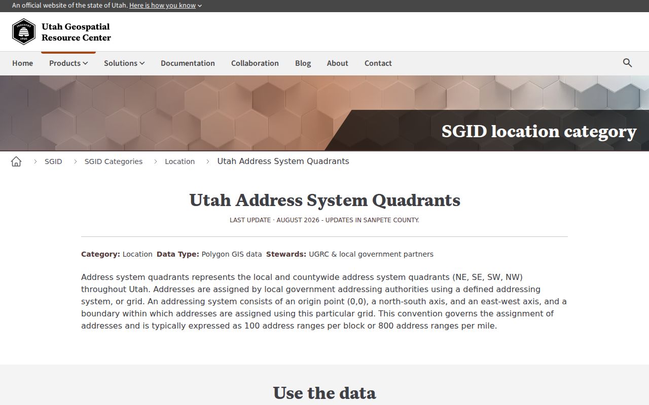
Clinton has a local addressing quirk that can make a ZIP search look wrong. The Utah Geographic Reference Center quadrant guide says Clearfield’s address origin governs Clearfield, Clinton, Sunset, Syracuse, and West Point. Davis County cities do not all count from one common origin, so a Clinton street number should not be interpreted with Layton or Kaysville’s origin.
This rule helps when a historic address, a postal label, and a modern parcel do not line up at first glance. Test the Clearfield-origin number, retain the old community name, and then use the county map and legal description. The guide is current addressing guidance, not proof of a historic renumbering.
The Utah address-system quadrant guide is the source for the image and gives the geographic reason to pause before rejecting a Clinton result. It complements the ZIP code directory by explaining a street-number relationship that postal labels alone cannot show.
Documented gap: no official public source located the year of a Clinton street renaming or renumbering project. For older records, compare the street number with a plat, deed, census enumeration district, or library-held directory before treating it as the same address.
Clinton Parcel IDs Give Better Joins
Davis Property Watch shows a visible parcel or tax ID pattern of XX-XXX-XXXX. That identifier is not a ZIP, deed book, or page number. It is a stable key for moving between the map, assessor data, recorder documents, and tax links. The map result can also show legal description, acreage, boundaries, owner, mailing address, and Tax Information, although exact card controls vary.
The legal description may use a subdivision lot and block or a metes-and-bounds description. That land description is stronger than a postal city when an address changes. A mailing address can be outside Clinton, can be a post-office box, or can belong to an agent or another address. It is a tax-roll destination, not automatic proof of where an owner lives.
For ZIP-based research, use the code to narrow the postal question, then use Parcel ID and legal description to join property records. Do not infer household members from an owner card. The county itself warns that property data is informational and can lag.
West Clinton Annexation Is Date-Sensitive
A 2026 West Clinton annexation notice describes about 155.14 acres near 2224 N 4500 W. The notice says it was filed October 29, 2025, accepted December 9, 2025, certified January 8, 2026, and carried a February 8, 2026 protest deadline. It also identifies Hooper Water Improvement District and Clinton Sanitary Sewer Special Service District.
The notice is a boundary and public-process clue, not proof of final approval by the research date. Check final Clinton and Utah annexation action before assigning a parcel to the city. Keep the record date beside the address because a ZIP, a parcel, and a municipal status can change on different schedules.
For a current address, the official fallback is the USPS full-address check plus the Davis map and the Clinton planning office. For an older address, add the deed, plat, or census geography that existed when the record was made.