
Sources Behind Clinton Previous Residents
A house-history search needs a sequence of sources, not one master roll. Davis County land records establish recorded transfers. Parcel and assessor information supplies the modern key. Printed directories and census schedules can identify occupants, while permits date changes to a building. Obituaries, cemetery records, and probate can close a trail after a person leaves or dies.
The dates below reflect what the research verified. The exact online REDI-Web cutoff and exact Clinton city-directory or reverse-directory runs were not published. Those gaps belong in the search record, with a library, archive, recorder, or records-request fallback.
| Source | Years It Covers | Where Held | What It Shows |
|---|---|---|---|
| Davis County Recorder land records | Historical collection begins 1870; online cutoff not published | REDI-Web, office, mail | Recorded deeds, parties, documents, legal descriptions, images |
| FamilySearch Davis County collection | 1869–1953 | FamilySearch images and catalog | Land, naturalization, birth, death, cemetery material |
| Printed and reverse directories | Exact Clinton runs not located | Davis County Library and archive routes | Address entries, names, occupations, household clues |
| Federal census schedules | Historical schedules released under the 72-year rule | Library and genealogy databases | Household, age, relationship, enumeration geography |
| Clinton permits and planning files | Current portal and retained files; full historic run not verified | Community Development or GRAMA | Work dates, parcel, owner/contact, construction details |
The source that fits the question comes first. Use a deed for ownership, a directory or census for household clues, a permit for construction timing, and an obituary or cemetery entry for a death-related lead. A record can support a narrow statement without proving every person who lived at an address.
Clinton Deeds Reach Back to 1870
The Davis County Recorder says its office was established in 1850 and its historical land-record collection begins in 1870. County pages also describe computerization and microfilming modernization in 1981. REDI-Web now describes decades of searchable material and scanned images, but no official page exposes the exact online start year. That makes “online since” an unsafe shortcut for a previous-residents search.
The paid REDI-Web subscription is described as $25 per month, plus downloads and related costs. Its public description names party or owner, address, parcel, and document-number routes. An in-person or mail search avoids a monthly subscription and is handled through the Farmington office during weekday 8 to 5 hours. The research records channel-specific copy rules, including digital and ordinary copies, and a mail response estimate of 5 to 10 business days.
The recorder’s office is at 61 S Main Street in Farmington, phone (801) 451-3225. Staff state that they cannot perform title searches, research requests, or legal analysis for callers. Arrive or write with an exact party name, parcel, document number, or legal description. The office can provide the record channel, but a searcher must connect each deed to the parcel.
The historical recorder page provides the base for the previous residents timeline. The linked office page is also the source image captured for this section, showing the custodian route without suggesting that every old Clinton deed is online.
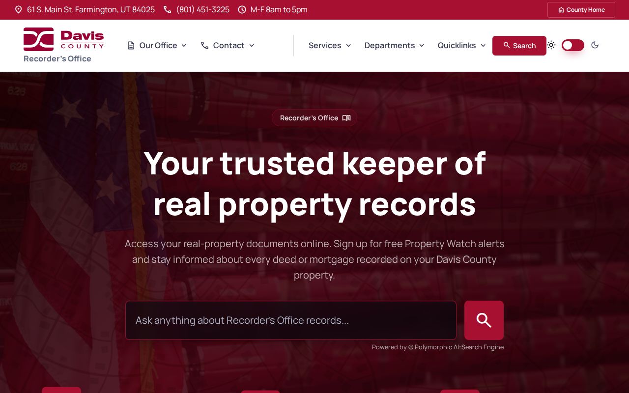
The image reinforces the practical split: current search tools are convenient, while the older trail may require office, mail, microfilm, or archive work.
Tracing Clinton Past Owners Through Deeds
Ownership research moves backward by changing the role in each transaction. A grantor is the party transferring an interest. A grantee receives it. The chain of title is the linked sequence of recorded transfers for the same land. A legal description identifies the land by lot and block or by metes and bounds, which can remain useful when a street label changes.
- Open Davis County Property Search or the GIS map and find the address. Select the suggested address, zoom to the parcel lines, and click the parcel.
- Write down the current owner, Parcel ID, legal description, situs address, mailing address, and Tax Information link. Keep the two address types separate.
- Search the owner as a grantee in REDI-Web or the recorder’s public route. Match the purchase deed to the Parcel ID, legal description, and recording date.
- Read the deed for the seller or grantor, prior instrument reference, vesting language, and any lot, block, plat, or parcel reference.
- Search that seller as the next grantee. Repeat the match backward, then move to deed books, microfilm, the office, or an archive when the online trail stops.
The Recorder property search lists Owner Name, Property Address, Parcel or Serial Number, and Document Entry Number as separate modes. A document number can bridge an address gap. A plat can bridge a changed street label. The Surveyor holds subdivision, condominium, partition, property-line, road, and county-corner records, while private surveys are restricted except by court order.
Do not treat a tax-roll mailing address as a past residence. It may be a post-office box, an agent, a business, or another owner address. A deed proves a recorded transaction. It does not prove that the grantee slept at the parcel or that a whole household moved when title changed.
- Grantor
- The party named as transferring the recorded interest.
- Grantee
- The party named as receiving the recorded interest.
- Chain of title
- A linked history of recorded transfers for one parcel or legal description.
- Legal description
- The land identity used in a deed, such as lot and block or metes and bounds.
Clinton Plats Bridge Old Addresses
When a prior deed does not use the modern street wording, look for the legal description first. Davis County Surveyor material can connect a subdivision name, lot and block, road record, easement, or county corner to the parcel geometry. The county property instructions also direct a searcher to click the parcel and read its Parcel ID and Legal Description. That bridge is stronger than assuming two similar street numbers describe the same land.
Clinton’s address geography adds a local caution. The Utah Geographic Reference Center says Clinton counts from Clearfield’s address origin, along with Sunset, Syracuse, and West Point. The guide is current addressing guidance. Research did not locate an official Clinton renumbering or renaming year, so older directory and deed labels must be compared with a plat, census enumeration district, or recorded instrument.
For previous residents, record both the old wording and the modern parcel key. If a street name, community label, or post-office label differs, do not silently rewrite the original. Note the source, date, and the evidence that connects it to the current parcel.
Clinton Permits Date the Work
Clinton Community Development records can add a building timeline, but a permit is not a household list. The city building-permit form can capture an address, parcel number, application and issued dates, owner contact, contractor, valuation, construction type, improvement type, zoning, and inspection or approval information. The public portal uses an account and submission workflow. No public result index by street was located.
Use the Clinton Community Development page and the building permit PDF to identify the existing record fields. Request retained files under GRAMA when the portal does not expose an old permit. An application date can show when work was proposed. An issued date can show when approval occurred. Neither date identifies every occupant before or after the work.
Planning and zoning can help distinguish a parcel from its neighbors. The city says every property is in a zone and provides an interactive zoning map. Pair a permit with the parcel, plat, and deed rather than using a project name or neighborhood nickname as the land key.
Pair Clinton Directories With Census Years
Previous residents often appear first as household clues, not title holders. A criss-cross directory is an address-organized directory that can list an occupant or telephone subscriber. A census schedule can show names, relationships, ages, and household structure for its enumeration geography. Neither should be mistaken for a current roster, and the exact Clinton directory years were not verified in the official pages reviewed.
- Write the current parcel, the old street wording, and the deed dates before opening a historical volume.
- Ask the Davis County Library for the current Clinton holdings list. Syracuse explicitly serves Clinton, while Farmington provides microfilm and local-history resources.
- Read the address-first directory entry and capture the printed name, spouse or household clue, occupation, publisher, year, and page. Do not fill a missing year from assumption.
- Pair the directory year with the closest available census year. Record the census place, ward or enumeration district because Clinton’s 1936 incorporation and the 1916 Summit Ward split can affect indexing.
- Use a deed, plat, obituary, or cemetery record to test whether the household clue belongs to the same parcel and person.
The Library of Congress Utah local-history guide explains the value of city directories, telephone directories, maps, and newspapers, but its online telephone-directory collection does not include Utah. FamilySearch’s named Utah, Davis County Records, 1869–1953 collection contains 40,381 browsable images. A free account, library connection, or FamilySearch center may be needed, and an image may have download limits.
The Library of Congress guide is the source captured for this section. It gives a reliable route into historical collections, while the absence of an official Clinton run means the local library remains the correct fallback.
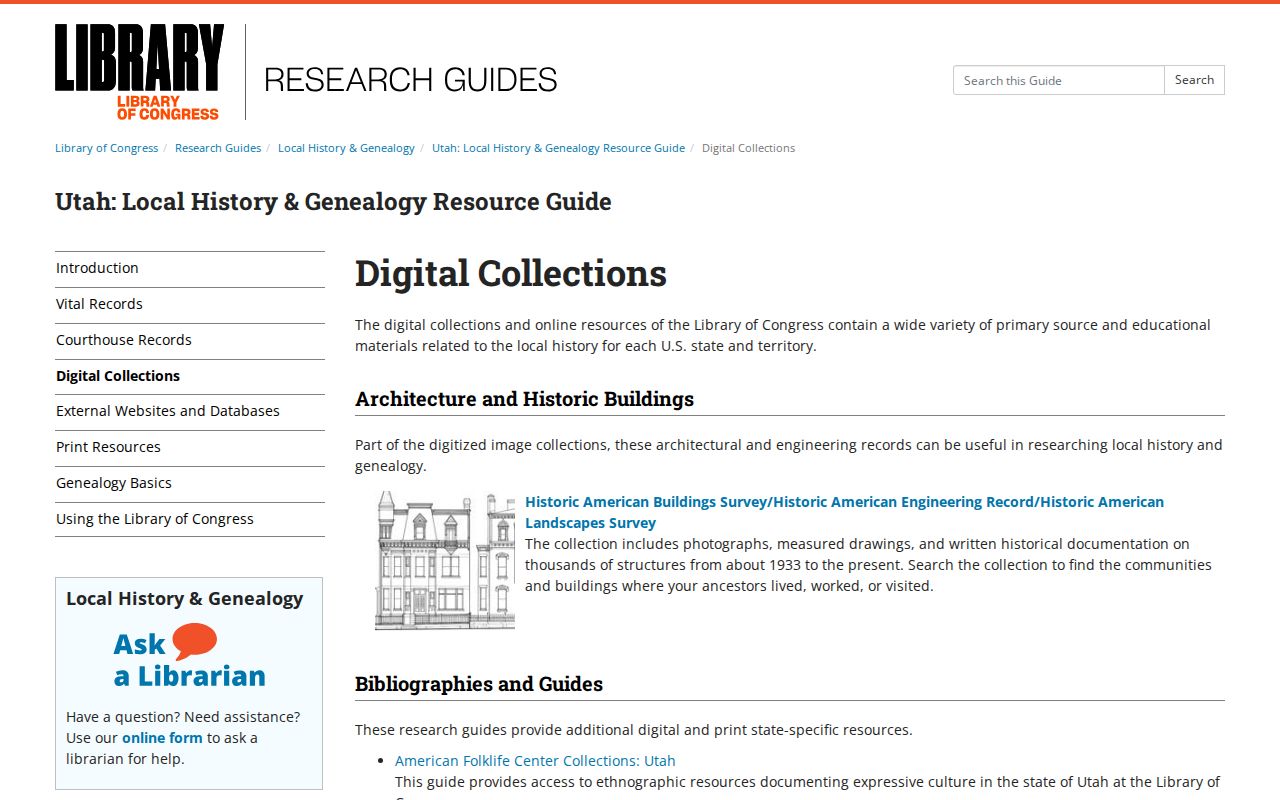
Use the image as a collection map, then ask for the exact Clinton shelf or reel instead of claiming an unverified directory year.
Clinton’s Older Place Names Matter
Clinton’s historical identity has several layers. Official local history names earlier community labels including The Range, Sand Ridge, The Basin, and The Summit. Clinton and Sunset shared Summit Ward in 1896, separated in 1916, and Clinton incorporated in 1936. A person in the modern city may therefore appear in an older record under a rural place, ward, township, or nearby post-office label.
The Utah State Historical Society History to Go Clinton page and the Clinton city history provide the local chronology. The first school was built in 1885 just south of the cemetery, and Clinton Cemetery at 813 N 750 W is a physical anchor for burial research. These place clues help a searcher widen terms without claiming that every person found under an old name lived at a particular modern address.
Search the old label, the current city, and Davis County together. Preserve the wording used by the source. Then use the parcel, family relationship, age, or another independent clue to decide whether two entries can be connected.
Clinton Obituaries Can Close the Trail
Davis County Library’s Utah Historic Newspapers route can surface obituaries, notices, and community items with a library card. Search Clinton, Sunset, Clearfield, Syracuse, West Point, and Davis County, not only Clinton. The library page does not publish a complete Clinton newspaper or funeral-home archive run, so ask for the current holdings list.
Clinton Cemetery’s public record fields include decedent, place of death, burial date, and interment-party information. FamilySearch’s Davis County catalog includes midwife, burial, and tombstone material. An obituary may provide a former address, relatives, congregation, occupation, or cemetery. Each clue needs a primary-record check before it is treated as proof of residence or kinship.
Probate can connect a decedent, executor, heirs, and property, but a complete Davis County probate index was not located in the official county pages reviewed. When the online trail stops, request the exact existing case or document through the court or county records custodian. Do not ask an office to create a household directory.
Clinton Sanborn and Directory Gaps
The Library of Congress Sanborn map research guide explains how fire-insurance maps can help date structures and interpret blocks. Research did not locate an official Clinton Sanborn map run. The guide is therefore a search route, not evidence that a map exists for a named Clinton year.
Use a Sanborn search to ask whether a map covers the address, then compare any map sheet with the legal description, plat, permit date, and street layout. A map can describe a structure or land use. It does not identify every occupant. The captured guide image belongs here because it shows the archival method and the need to verify the local result.
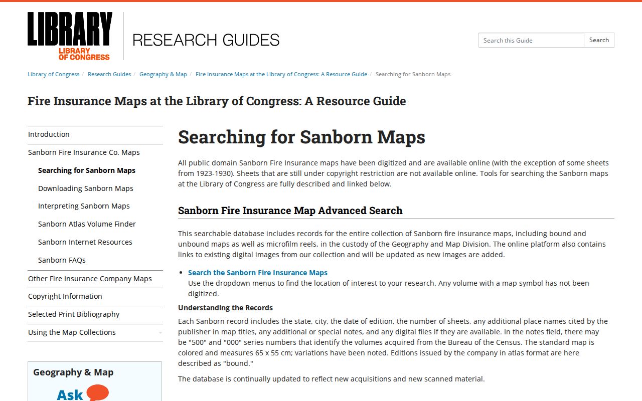
Documented gap: no official source inspected published exact Clinton city-directory runs, reverse-directory years, or a Clinton Sanborn map run. The fallback is the Syracuse or Farmington library, the Library of Congress search route, FamilySearch, Utah State Archives, and a precise GRAMA or records request.
Request Clinton Records the Index Lacks
When a prior-resident search reaches a gap, name the custodian and the exact record. Davis County’s Records Catalog uses ArchivesSpace for holdings, dates, and formats, while the public-records route sends requests to the county records manager. Utah GRAMA is the state access framework. A useful request names the address or parcel, the person or legal description, a date range, the record class, and whether inspection or a copy is preferred.
For court material, use the Utah court-record request route and provide a case number or precise subject when known. For birth, death, marriage, or divorce material, use Davis County Health, Utah Office of Vital Records and Statistics, the State Archives, or the court according to the event and its access rule. Birth records are restricted for 100 years and death records for 50 years under Utah Code 26B-8-125 and agency rules.
For older land material, begin with the Recorder, then ask the Surveyor or State Archives for the series, volume, page, plat, or image reference. Keep a log of a no-result response. A documented gap is useful evidence that a run was not located, not permission to invent a previous resident.
Lawful house history. Research into Clinton previous residents is suited to family history, an heir question, or the history of a parcel. Public availability does not permit stalking, unwanted contact, intimidation, or harm. Use the least personal detail needed for the lawful question.