
Clinton Neighbors by Record Layer
A block search is strongest when each source is assigned one job. The Davis County GIS map provides geometry. Property Search connects a parcel to owner, mailing, legal-description, and tax fields. The Recorder supplies documents. The voter file can show ordinary public registration geography, but it is not a street roster. The HOA registry and library sources add association or historical context without creating a public member list.
The coverage table keeps those roles separate. It also shows the access route when an index does not exist. Adjacent parcels are inspected one at a time. The exact live GIS buffer, radius, export, and one-click neighbor functions were not captured in the official instructions.
| Source | What It Shows About a Block | Access |
|---|---|---|
| Davis GIS parcel map | Parcel geometry, nearby shapes, Parcel ID, and clicked details | Public map; search and click |
| Assessor / Property Search | Owner, situs and mailing address, legal description, values, acreage, and tax links | Public property search; fields vary |
| Recorder / REDI-Web | Deed chain and recorded instruments tied to parties or parcels | Paid portal, office, or mail |
| Utah voter file | Ordinary public address, precinct, district, and status fields | Person search or state/county request; privacy limits |
| HOA registry and local plans | Association legal name, leadership route, plats, easements, and conditions | Registry, city map, association, or request |
| Library and newspapers | Older occupants, notices, events, obituaries, and community context | Library card, microfilm, or digital route |
Each row can answer a narrow question about Clinton neighbors. None alone proves who currently occupies every nearby home. A deed owner, voter registrant, permit contact, mailing address, and occupant can be different people.
Map a Clinton Block From One Address
The documented Davis County map method is parcel-by-parcel. Start with an address or Parcel ID, choose the address suggestion, zoom until parcel lines appear, and click the parcel. The resulting card can expose the owner, Tax Information, Parcel ID, and Legal Description. Click nearby parcel shapes one at a time and keep the parcel keys in a private research note rather than making a household list.
- Normalize the full address with the USPS address lookup, preserving the recognized city and ZIP.
- Open the Davis County Property Search 2.0 GIS map and select the suggested address.
- Zoom to parcel lines, click the starting parcel, and record Parcel ID, legal description, owner, and Tax Information.
- Click the immediately adjacent parcels and compare each Parcel ID and legal description before looking at any name.
- Use the recorder, planning office, or voter route only for the specific lawful question that remains.
The process is: address → suggested match → parcel geometry → adjacent Parcel IDs → legal descriptions and tax links → narrowly chosen custodian. A dedicated buffer or radius result was not verified. Do not describe the map as an all-resident search. For a whole named street, the Clinton street directory has the broader address workflow.
Clinton Neighbors: Owners and Occupants
Property data can show an owner, a situs address, a mailing address, parcel or serial number, legal description, acreage, boundaries, values, and related document links. The situs is where the land sits. The mailing address is where a tax notice or owner correspondence goes. It can be outside Clinton, outside the parcel, a post-office box, an agent’s address, or a business address.
The county warns that Property Search 2.0 data may be at least 24 hours old, is informational, and is not a legal document or substitute for a title search. A homestead or exemption indicator, if the actual card displays one, can support an owner-occupancy question under the county’s rule. It does not establish every household member or a non-owner occupant.
When a neighbor question turns on ownership history, the Recorder property search accepts Owner Name, Property Address, Parcel or Serial Number, and Document Entry Number. Use the Parcel ID and legal description to join records. Do not join two people merely because their names, mailing cities, or ZIP codes look alike.
Clinton Neighbors and Voter Geography
Utah Voter Search asks for First Name, Last Name, Date of Birth, Street Address, City, and ZIP. That is a person-specific lookup, not a map of all Clinton neighbors. Ordinary released fields can include residential and mailing address, party, age range, active or inactive status, county, precinct, districts, and certain vote-history fields.
A state or county voter-file request is a different access channel. The described statewide list costs $1,050 one time and the state describes $35 election reports. At-risk records are withheld. Social Security numbers, Utah driver license or ID numbers, full date of birth, signatures, email, and phone are private in the ordinary public list. Utah Code 20A-2-104 provides a withholding process for qualifying people.
For block research, aggregate the geography rather than publishing names and addresses. Registration status reflects an election record, not household composition, and a protected or inactive record cannot be treated as a missing neighbor. Never use a voter list to contact or monitor people.
Clinton Neighbors and Lexington Estates
Clinton planning and council material identifies Lexington Estates HOA in a recorded landscape-easement and final-plat context. Later development material references HOA-maintained private parks or open space. Those records can help explain why a block has a common area, easement, or association layer. They do not create a public list of members or prove that a particular person belongs to the association.
The Clinton Planning and Zoning page says every property is in a zone and links an interactive zoning map. Pair a plan, plat, or easement with the Parcel ID and legal description. A neighborhood name is a search lead. The recorded land description is the stronger bridge.
The Clinton Planning and Zoning page is the source for the image and the official local context for Lexington Estates and Clinton’s zoning route. It helps separate a block’s public land and development clues from private association information.
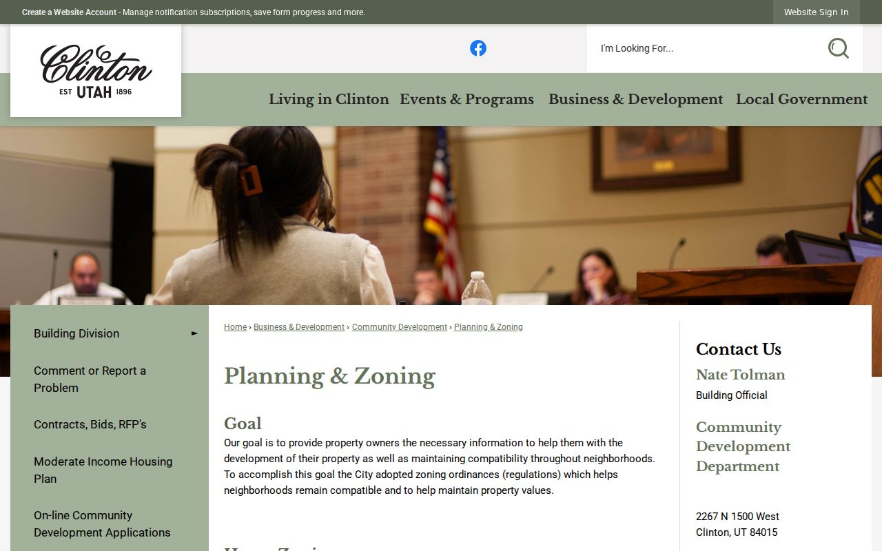
Use the image as a prompt to inspect the relevant planning record, not as evidence of a current household or association membership.
Clinton Neighbors and HOA Names
Utah Commerce’s HOA registry is the statewide route for registered association information. Its search uses a legal name or alias. The registry changed to a new format beginning September 8, 2025, while the prior registry was available until October 31, 2025. Search both the formal association name and known alias when a Clinton plat supplies one.
| Association route | What it can establish |
|---|---|
| Utah HOA Registry | Legal name, alias search, registered leadership or contact route, and association document path |
| Clinton planning record | Recorded plat, easement, zone, development condition, or open-space reference |
| Association request | Governing documents or contact response when the association provides them |
The Utah HOA registry search is the source captured for this section. The image shows the official registry entry point and its proper role. It does not show a Clinton member roster because the research found no complete public citywide association directory.
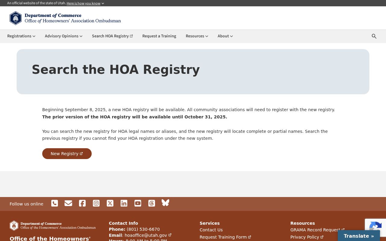
Documented gap: no complete official Clinton association directory or association member and contact roster was located. The fallback is the legal-name registry, the recorded plat, the city planning custodian, or a direct association document request.
Clinton Neighbors in Planning Files
Clinton Community Development handles planning, zoning, permits, and development conditions. A building-permit record can include address, parcel, owner or contact, application and issued dates, contractor, valuation, construction type, improvement type, zone, and inspection or approval information. The city’s permit process is online through an account. No public street-result index was exposed.
Use the Community Development page for the department route and request existing files under GRAMA when the portal does not show the needed record. A permit dates work. It does not identify every current or past occupant. A planning condition can describe an easement or open space. It does not prove an association member list.
For a current block, compare planning geometry with the Davis parcel map. For a past block, add the deed, plat, and record date. This preserves the difference between a development condition and a person record.
Clinton Library Sources Show Neighbors
Davis County Library’s Syracuse branch explicitly serves Clinton, while Farmington headquarters supplies microfilm and the county local-interest collection. Ask for printed directories, yearbooks, obituary indexes, newspaper reels, cemetery books, vertical files, and city or county histories. Exact Clinton directory years and exact newspaper runs were not published in the official page, so request the current holdings list.
The Utah Historic Newspapers route is available through the Davis County Library with a library card. Search Clinton with Sunset, Clearfield, Syracuse, West Point, and Davis County because older entries may use a different community label. A library directory can supply a past address or household clue. Pair it with a deed, plat, census geography, or cemetery record before treating it as the same neighbor.
The Library of Congress Utah local-history guide covers directories, maps, newspapers, and genealogy routes, but its online telephone-directory collection does not include Utah. That documented limit points back to the local library, FamilySearch, and Utah State Archives rather than an invented online result.
Clinton Neighbor Records Versus Tools
Commercial neighbor-lookup services often merge public filings, marketing data, old address sets, and purchased data. They may charge per report or subscription, combine people with similar names, and retain stale addresses. An official custodian has a defined record, date, and access rule. Neither source should be treated as a complete block roster.
| Question | Official source | Commercial category |
|---|---|---|
| Where is the parcel? | Davis GIS map and Property Search | May reuse an old address record |
| Who is recorded as owner? | Assessor or Recorder, checked by Parcel ID | May merge names without a land record |
| Who registered? | Utah Voter Search or authorized list request, subject to withholding | May copy stale public data |
| Who belongs to an association? | HOA legal-name and governing-document route | Usually lacks authoritative membership proof |
Use the official record for the narrow fact it can prove. A parcel card does not prove occupancy. A voter result does not show how anyone voted. A directory entry is historical. A commercial report is a lead at most, and its data should not replace the custodian’s record.
Privacy Limits on Clinton Neighbors
A Clinton block search cannot show utility customers, delivery records, DMV details, nonpublic household relationships, protected voters, Safe at Home actual addresses, sealed court material, or restricted vital information. Utah Safe at Home uses a substitute address for eligible survivors and protects the actual home and mailing address, city and county, precinct, phone, and unique identifying information. The program is not universal removal from every database.
Utah GRAMA provides access and appeal rights where a record is public, but it does not turn every government-held personal field into a directory. Ask for an existing record class and date range. The county can redact private, protected, controlled, restricted, or nonpublic portions. Keep the request focused on a parcel, plan, plat, or specific record.
Lawful use. Clinton neighbor research is suited to getting familiar with a block, checking a parcel, reconnecting, or personal safety awareness. Do not use public records to stalk, harass, intimidate, threaten, or harm anyone.
Documented gap: the official instructions did not expose a live adjacent-parcel buffer, measure, select, export, or one-click all-neighbors tool. The supported fallback is the parcel-by-parcel map method, followed by the proper county, city, state, library, or association custodian.