
Finding People Along a Clinton Street
A Clinton street directory search should begin with the address in hand, not with a claim that one public list names every household. Davis County property records can identify a parcel, owner, mailing destination, and legal description. Those fields answer an ownership question. A voter match can speak to registration residence for an ordinary public record, while a deed supplies a recorded transfer. A historical directory or newspaper may name an occupant from another time. Each source has a different date and purpose, so a careful street-by-street result says exactly what was found.
The county map is also useful for walking a block in order. Start with a known address, then record the parcel ID for nearby shapes instead of copying names into a public roster. Clinton addresses have a local numbering detail that matters later: the Utah Geographic Reference Center lists Clinton among the communities that count from Clearfield’s address origin. That rule helps normalize a search, but it does not provide a historical renumbering date.
- Enter the address in Davis County Property Search and select the suggested match. Save the parcel ID, situs address, legal description, and owner fields shown.
- Open the Davis County GIS parcel map, zoom until parcel lines appear, and click the parcel. Use Tax Information to compare the map record with the property result.
- Check the Utah Voter Search with the person’s name, date of birth, street, city, and ZIP when a lawful registration question exists. Do not treat a failed match as proof of nonregistration.
- Use the Davis County Recorder index with the owner or party name, parcel, address, or document number. Match the deed’s legal description and recording date to the parcel.
- For earlier households, ask Davis County Library about printed directories, reverse sections, newspapers, yearbooks, and microfilm. Record the volume, page, spelling, and date before treating a name as a street clue.
Clinton Numbers Follow Clearfield
The address grid is one of Clinton’s easiest details to misread. The Utah county address-system guide says Davis County cities do not all share one origin. Bountiful, Centerville, Farmington, Kaysville, and Layton have their own systems. Clearfield’s origin governs Clearfield, Clinton, Sunset, Syracuse, and West Point. A street directory search that applies Layton or Kaysville’s numbering logic can reject the right parcel before the county search begins.
No official source located the year of a Clinton street renumbering or renaming project. That is a documented gap, not a reason to invent a date. For an older address, test the current number, the surrounding community labels, and the legal description. A directory may use Clearfield, a rural place, or another historical label even when the modern parcel sits inside Clinton. The city’s 1936 incorporation and the 1916 separation of Clinton and Sunset from their shared Summit Ward context also make the record date important.
Note: The Clearfield-origin rule is current addressing guidance, not proof that every historical directory printed Clinton numbers the same way.
Search Clinton Property Records
The Davis County Recorder’s public property-search page offers four ways to approach a Clinton parcel: owner name, property address, parcel or serial number, and document entry number. The assessor routes users to the same property-search system. The map and card are parcel-centered, not a household census. A current owner may have a separate mailing address, and the county warns that property data is informational and can lag. Use the property result as the first anchor in a street directory workflow.
| Search or result field | Type | Required or behavior | Use by street |
|---|---|---|---|
| Address | Text with suggestion | Type and select; city improves the match | Find the situs parcel |
| Parcel ID or serial | Text | Exact parcel key; Property Watch shows XX-XXX-XXXX format | Hold the record chain steady |
| Owner name | Text | Public property-search mode | Check the recorded or tax owner |
| Document entry number | Text | Exact recorder key | Open a deed, mortgage, or lien trail |
| Parcel map and click | Map action | Zoom, show lines, click a shape | Browse a street segment |
| Tax Information | Link or button | Available after parcel selection | Move from geometry to tax data |
| Legal Description | Result text | Subdivision lot/block or metes and bounds | Bridge old deeds and plats |
| Mailing address | Result field | Where available | Owner correspondence clue, not automatic residence |
The field list turns a loose street question into a repeatable record trail. Save the parcel key first. Then compare the owner, legal description, and recording information rather than relying on a street number alone.
Clinton Map to Parcel Card
The county’s documented map workflow is simple but worth following in order. Enter an address or Parcel ID, choose the suggestion, zoom until parcel lines show, click the parcel, and open Tax Information. The card can connect current owner, situs address, mailing address, parcel or serial number, legal description, acreage, boundaries, assessment or tax information, and linked ownership history. Exact live card fields vary, and no live Clinton parcel card was captured during the research run.
For a whole block, click adjacent shapes one at a time and keep a private research note of each parcel ID. The official instructions do not document a radius tool, export, or one-click list of all residents. They also do not establish that zoning, flood, or district layers have a fixed public field set. Clinton Planning and Zoning can identify a property’s zone and links an interactive zoning map. The parcel map is a geography tool, not a title opinion.
View the Davis County parcel map and its address-to-tax workflow before comparing nearby Clinton parcels. A clicked shape tells where the land is; it does not tell who occupies every room.
Clinton’s Three Address Fields
A street directory can become inaccurate when it treats three address identities as one. A situs address identifies the parcel’s physical place. A mailing address shows where an owner’s tax or county correspondence is directed. A legal description identifies the land through a lot and block, subdivision, metes and bounds, or another formal description. These may point to different places or use different words.
Use the parcel number as the stable key when possible. The format shown by Davis County Property Watch is XX-XXX-XXXX, but that pattern is a tax or parcel identifier, not a book and page reference. The county Surveyor holds subdivision, condominium, partition, road, property-line, and county-corner records. Tie sheets, plats, and prior surveys can bridge a deed that uses an old description. Private survey copies are restricted except by court order.
- Parcel
- A mapped unit of land used to connect property, tax, and recorded-document information.
- Situs address
- The physical address assigned to the land or improvement, which may differ from an owner’s mailing address.
- Plat
- A recorded map that lays out lots, blocks, roads, easements, or other subdivision features.
- Criss-cross directory
- An address-first directory section that may list an occupant, business, or household clue instead of starting with a surname.
Clinton Records Organized by Street
Several Davis County and Clinton sources can be searched or tied to an address, but they do not answer the same question. The coverage table below keeps the keeper, evidence, and access route separate. This is the working core of a Clinton street directory: parcels first, then the document or civic record that fits the question.
| Record set | Keeper | What it shows | Access |
|---|---|---|---|
| Property and tax roll | Davis Assessor / Recorder Property Search | Owner, situs, mailing, parcel, legal description, values, and tax context | Public search and map |
| GIS parcel map | Davis County Property Search 2.0 | Parcel geometry, nearby parcels, and map-to-tax link | Public viewer; data may lag |
| Deeds, mortgages, and liens | Davis County Recorder | Recorded parties, instruments, dates, and legal descriptions | REDI-Web, office, mail, or copies |
| Voter registration | Utah and Davis elections offices | Ordinary public address, party, age range, district, and status fields | Person search or dated list request |
| Building permits | Clinton Community Development | Address, parcel, owner, work type, dates, and project contacts | Portal account or GRAMA request |
| Survey and plat records | Davis County Surveyor | Lots, roads, corners, easements, and legal land relationships | Office, phone, or REDI channel |
The parcel ID can link the property and recorder sides, while the street address helps normalize the voter and permit search. A street directory should label each result by role and date. An owner, voter registrant, permit applicant, and occupant are not interchangeable.
Trace Deeds Along a Clinton Block
The Davis County Recorder says its historical land-record collection begins in 1870 and that computerization and microfilming modernization occurred in 1981. The office was established in 1850. REDI-Web describes more than 175 years of county records, scanned documents, plats, and surveys, but it does not publish a precise online cutoff year. That distinction matters when a street directory reaches into an earlier period.
Search the current owner as grantee, the person receiving the deed, and find the earlier seller as grantor. Then search that seller as the next grantee. At each step, compare parcel, legal description, recording date, and instrument number. The recorder’s office says staff cannot conduct title searches, perform research requests, or give legal advice by phone. Use the office or portal for records, and do not present a chain as a legal conclusion.
REDI-Web is described as a 24-hour subscription at $25 per month plus download and related costs. The public property-search route is better for owner, address, parcel, and document-entry modes. In-person and mail searches use office hours and different copy or turnaround rules. County recorder fees include $45 to record a document, ordinary copies at $2 per page, and certified copies at $5 plus $2 per page. Verify the current charge and channel before ordering.
Image lead-in: The Davis County REDI-Web page shows the official deed-index access route.
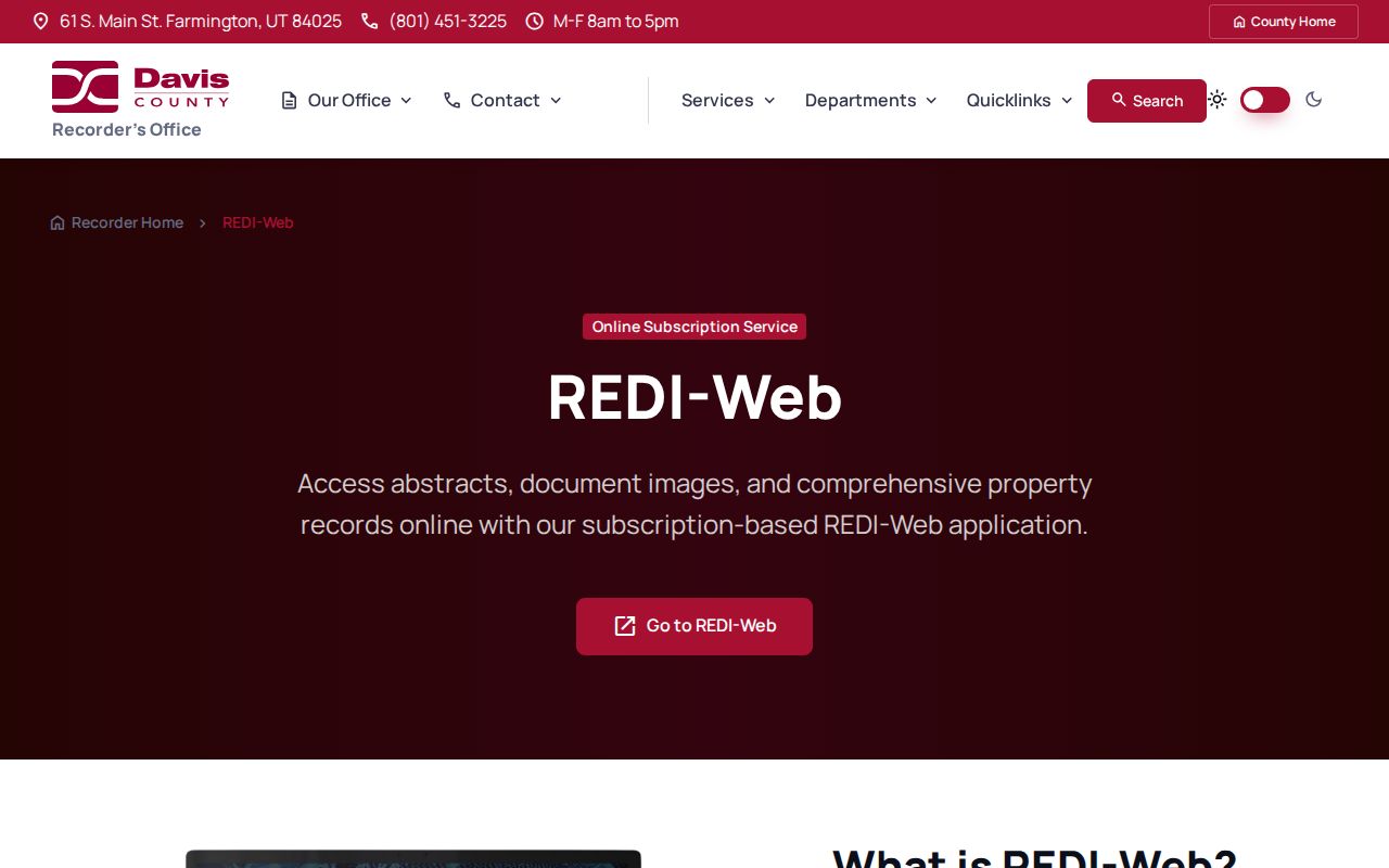
The screenshot is a portal-access reference, not a Clinton deed result. A real index match still needs the parcel and legal description checked against the property record.
Clinton Permits Add Dates to Addresses
Clinton Community Development covers planning, building inspection, business licensing, and code enforcement. Its building permit portal requires an account, an application, plans, and supporting documents, then handles inspection scheduling after approval. The public permit PDF shows the underlying data model: receipt, application, and issued dates; permit number and type; building address; parcel; fees; lot or subdivision; owner contact; construction and occupancy details; contractor and design parties; zoning, parking, setbacks, approvals, and signatures.
Work-type choices include addition, sign, building, move, remodel, use conversion, demolition, and repair. The form says a permit can become void when work has not started or is suspended for 180 days, and it includes a declaration under penalty of perjury. No public Clinton result index by street was located. For a dated permit or code file, ask Community Development for an existing record under GRAMA with the address, parcel, record type, and date range.
Image lead-in: Davis County Property Watch explains its address-linked recording alert fields, which are separate from Clinton permits.
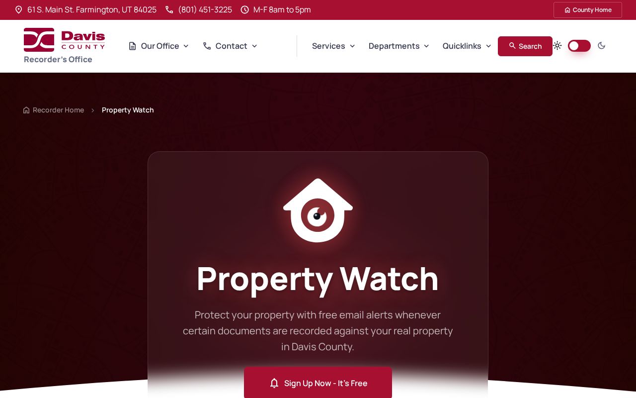
Property Watch is a free deed, mortgage, and lien alert registration with owner name, email, and parcel fields. It can flag a new recording, but it is not a list of everyone at an address.
Clinton Voter Data by Street
Utah Voter Search asks for first name, last name, date of birth, street address, city, and ZIP, followed by Submit. It is a person-specific lookup, not a free street browse. The ordinary public fields described by Davis County and the state include full legal name, residential and mailing address, age range or year of birth, party, active or inactive status, registration or update date, county, precinct, districts, and vote history. Full date of birth, SSN, Utah ID, signature, email, and phone are private.
A statewide list request is a different channel. The state describes a $1,050 statewide file and $35 election reports, with county or district lists requested from the county clerk. At-risk records are withheld or anonymized. A list may support authorized geographic analysis, but it should not become a public household roster. The person-search tool also gives no assurance that a no-match means a person is not registered. Address changes, inactive status, spelling, protected status, and portal behavior can all matter.
Utah Code 20A-2-104 supports a withholding process for qualifying protected voters. The Davis County form asks for name plus an address or date of birth to locate the record, contact details, category, statement or proof where needed, signature, and date. A withheld record can remain in other databases. It should never be reconstructed from a street search.
What a Clinton Street Directory Cannot Show
Public parcel records do not identify every person who lives at a property. A deed names recorded parties. A tax roll may show an owner and mailing address. A voter record reflects registration. A permit can name an owner or project contact. None of those fields is a complete household list. Utility customer records are not a public street source, and household relationships must not be inferred from a parcel.
Driver address data is restricted by the federal Drivers Privacy Protection Act, 18 U.S.C. section 2721 and following. Utah Safe at Home protects a participant’s actual home and mailing address, while the state voter withholding route protects qualifying voter records under its own process. A street search also should not expose signatures, full birth dates, IDs, sealed filings, or restricted vital details.
Lawful use. Clinton address records are for specific, lawful personal research. Utah stalking law does not permit repeated unwanted contact, surveillance, threats, intimidation, or publication meant to expose a protected person.
For a person-centered question, move to the Clinton resident lookup workflow and compare independent records. For a past occupant, the library shelf and older directory question belongs with the Clinton city directory collections, where the known research gap is stated plainly.